
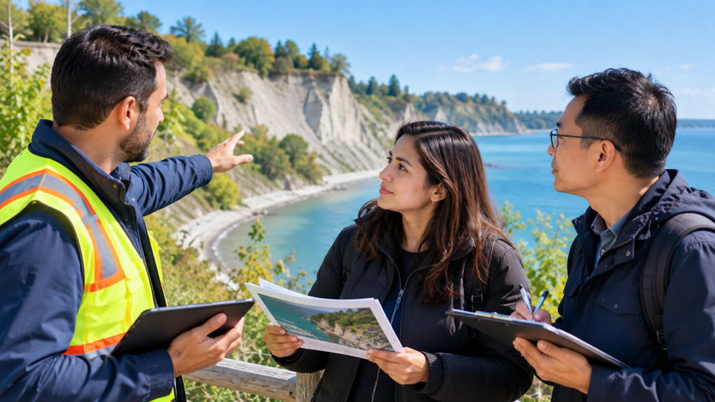
A new ground crack, a shifting fence or an unfamiliar hollow near a slope can leave a Scarborough homeowner unsure what to do next. The first priority is to keep people away from a potentially unstable area. The next is to report clear observations to the appropriate organization.
A photograph cannot establish whether a bluff is stable, and a visible change does not reveal its cause on its own. Useful reporting records what you noticed, where it occurred and whether it appears to be changing.
For Scarborough bluff properties, it is also important to distinguish a hazard report, ongoing monitoring and a site-specific engineering assessment. Each serves a different purpose.
Treat Immediate Danger as an Emergency
If ground movement or a collapse appears to threaten people immediately, move away and call 911. Do not wait for a routine online response.
Keep children, pets and visitors away from the affected area. Avoid walking toward the edge to check how much ground remains or climbing below the bluff to inspect it from underneath.
TRCA warns that the Scarborough Bluffs consist of unstable sediments and can collapse. Its guidance tells people to stay back from bluff edges and respect barriers and signs throughout the year.
There is no universal distance in this article that establishes a safe position for every property. Follow site-specific instructions from emergency personnel or qualified professionals.
Describe What Changed Without Diagnosing It
A useful first report separates observations from conclusions.
Write “a crack appeared beside the rear path after the rainfall” rather than declaring that the entire property is sliding. Similarly, describe a leaning fence or displaced paving without assuming the cause is erosion.
Relevant observations may include:
- New or widening ground cracks.
- Freshly exposed soil or a recently fallen section.
- Changes in a retaining structure.
- Unusual water flow or persistent wet areas.
- Movement affecting a path, fence or nearby structure.
These signs need interpretation. Some may have causes unrelated to bluff instability, while others may warrant prompt assessment.
Record when you first noticed the condition and whether you have older photographs for comparison.
Identify the Location Precisely
“Behind my house near the Bluffs” may be insufficient for staff to locate the concern.
Provide the property address and explain whether the change is in the rear garden, beside a structure, on a public path or below the property. Include a map link or marked image where possible.
TRCA’s erosion-hazard reporting form requests location information, the date found, a description and photographs. It also provides a field for a Google Maps link.
Explain any access restrictions. Staff should know if the observation comes from a private property, a locked gate or a public viewing point.
Do not enter a neighbour’s land or a closed area to obtain a more exact position.
Photograph From a Safe Position
Take photographs only where you can remain safely away from the suspected hazard.
A useful set includes a wider view showing the location and a closer view taken with zoom. Include recognizable features so someone reviewing the images can understand their relationship to the house or garden.
Do not stand beside a crack to provide scale or ask another person to pose near the edge. Avoid placing objects on unstable ground for a measurement.
Label each image with the date and viewing direction. Keep original files, including earlier photographs that show the same area.
If you cannot document something safely, describe it instead. Incomplete photographs are preferable to creating another emergency.
Use the Appropriate Reporting Route
For a non-emergency erosion concern, TRCA has an online erosion-hazard reporting form. Provide your observations and ask what follow-up applies to the location.
Where the concern affects a City park, path, drainage feature or other municipal asset, contact Toronto’s 311 service as well. Explain the specific asset involved and retain the service-request number.
A suspected leak and a slope concern may require different teams. If flowing water appears connected to damaged infrastructure, mention that separately rather than assuming an erosion report will automatically generate a plumbing investigation.
Tell each organization about related reports so staff can connect the information. An online submission should not be treated as confirmation that the site has been inspected or declared safe.
Ask What Monitoring Can Establish
Monitoring helps track change over time, but it should not be confused with approval to use an affected area.
The City’s Scarborough Bluffs West project information describes a no-cost Bluff Recession Monitoring Program through TRCA. It involves annual inspections along the crest and records erosion rates and other site changes. Contact the monitoring team to ask whether your property can participate and what the programme covers.
If you already participate, report a new concern rather than waiting for the next scheduled visit.
Ask what observations residents should report between inspections and which contact route to use if conditions change quickly.
Consider a Site-Specific Engineering Assessment
A regional study or public-project map does not provide a complete assessment of an individual property.
The City explains that risk lines developed for the Scarborough Bluffs West project support high-level planning for public infrastructure. It recommends a geotechnical engineer’s site-specific assessment to understand potential erosion risk to an individual property.
Before hiring, explain the concern and ask what the proposed assessment includes. Relevant questions include whether the engineer will review historical information, inspect drainage and structures, and provide written recommendations.
Clarify the expected deliverables, timing and fees. Ask whether additional investigation may be needed and whether any immediate restrictions should apply while the assessment is underway.
Avoid Changing the Slope While Awaiting Advice
Do not fill cracks, add soil, remove vegetation or construct a retaining wall as an improvised response.
Changes can obscure evidence or affect drainage and slope conditions. TRCA identifies concentrated surface runoff as a cause of erosion and instability and warns that dumping yard waste on slopes damages vegetation.
If water is flowing toward the affected area, report the source and seek appropriate advice. Avoid redirecting it onto neighbouring land or another part of the slope.
For suspected street drainage problems, our guide to Toronto blocked catch basins discusses the information residents can gather when reporting municipal drainage concerns.
Confirm Permissions Before Remedial Work
A contractor’s proposed solution may require review and permits.
TRCA states that landscaping involving filling, regrading, hardscape or retaining walls within a regulated area can require a permit. Confirm how the current rules apply to your property and proposed work before authorizing construction.
Ask who will prepare the design, obtain approvals and coordinate any municipal requirements. Ensure that a quotation identifies the actual scope rather than promising generally to “stop erosion.”
An urgent concern deserves prompt professional attention, but urgency does not establish that an unreviewed repair is suitable.
Clarify Funding and Ownership Responsibilities
Reporting an erosion concern does not guarantee publicly funded repairs.
TRCA explains that support for private landowners depends on municipal funding and programme limits. Its current Erosion Risk Management guidance states that private-property support is mostly limited to Toronto ravine properties and excludes waterfront properties adjacent to Lake Ontario.
Ask what assistance, if any, applies to your location. Monitoring, technical information and funded construction are separate matters.
Where neighbouring properties or shared structures are involved, establish ownership and access arrangements before commissioning work. Keep any written agreements and professional recommendations together.
Maintain One Clear Reporting Record
Keep photographs, report confirmations, inspection notes and correspondence in a single folder.
Record who responded, what was assessed and which actions remain outstanding. If conditions change, send an update referencing the original case rather than assuming the first report remains sufficient.
Ask for clarification if advice appears inconsistent, especially where different organizations are addressing different parts of the property.
A reliable record supports follow-up and professional assessment. It does not replace immediate action when a new situation presents an urgent danger.
Note: Bluff conditions and property risks require site-specific assessment. Stay away from suspected unstable areas and use emergency services where people face immediate danger. For a helpful public reporting resource, see TRCA’s erosion-hazard reporting form.